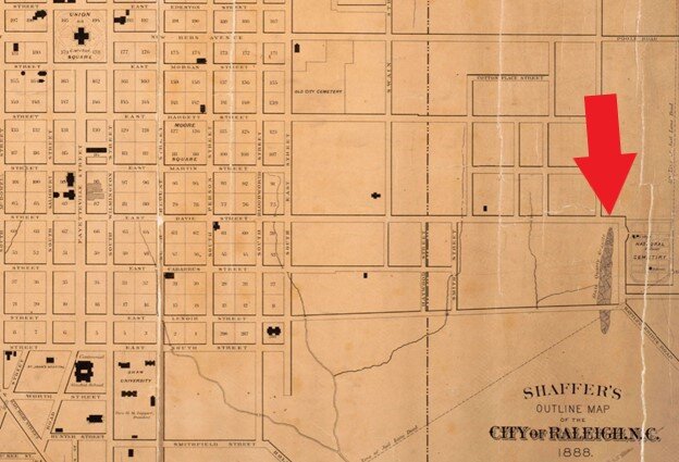
We don’t know a lot about James Curtis beyond his name and the name of his enslaver. James appears in the May of 1834 Time Books as a “quarry hand.” In order to provide building materials to the Capitol project, the state operated a granite quarry about a mile and a half southeast of the construction site – James worked at this quarry.
This map from 1888 shows the state rock quarry in southeast Raleigh - about a mile and a half from the Capitol.
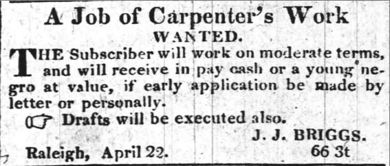
On the list of quarry hands, a man named John Joyner Briggs signed for James. John Briggs was a carpenter who lived in both Fayetteville and Raleigh. While working in Raleigh in the early 1800s, Briggs use advertisements to invite locals to send their enslaved persons to “apprentice” with him.
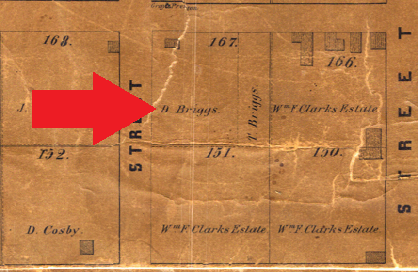
John Briggs was known in the 1830s as being the head carpenter and one of the highest paid workers on the State Capitol project. In 1834 Briggs owned property north of Nash Square, a few blocks from the Capitol. James might have walked with Briggs to and from the Capitol project.
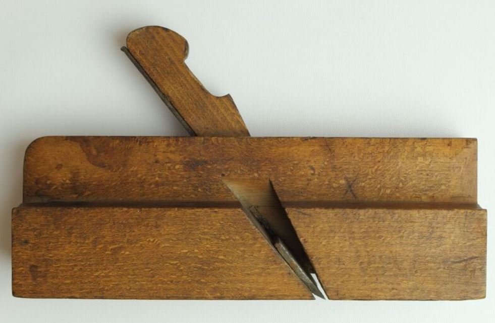
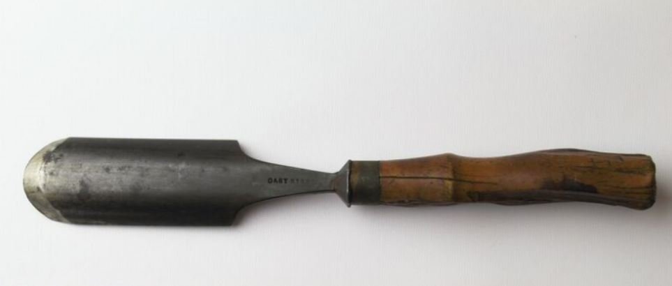
The Capitol has in its collection woodworking tools that belonged to John Briggs – tools like the plane and gouge featured below. Though he is listed as a “quarry hand,” it’s possible that James Curtis might have done some carpentry work with John Briggs as well.
This is a “Kennedy & White” wood plane used by John J. Briggs. Wood planes are used to carve and smooth pieces of wood.
This is a wood gouge with a 1 1/2 inch blade. A gouge is much like a chisel - except the cutting edge is bent into a curve. Gouges are used to carve grooves into wood. This gouge was used by John J. Briggs at the Capitol.
This ad shows John Briggs requesting enslaved people to come and work for him.
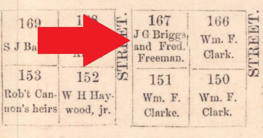
John Briggs’ property near Nash Square is visible on a map from 1834.
In 1847, the property was still held by the Briggs family.
Census Of The United States, 1830-50, Record Group: Records of the Bureau of the Census, The National Archive, Washington, D.C.
Map of the City of Raleigh, 1847. Surveyed and drawn by J.W. Johnson. Entered according to act of Congress in the Year 1847 by J.W. Johnson in the Circuit clerk office of the district of North Carolina. Accessed in the Raleigh History Collection, State Archives of North Carolina.
Plan of the city of Raleigh first published in the year 1834. Map printed by Walters, Hughes and Company, Raleigh, N.C. From the book, Early Times in Raleigh Addresses Delivered by the Hon. David L. Swain, 1867. Accessed in the Raleigh History Collection, State Archives of North Carolina.